
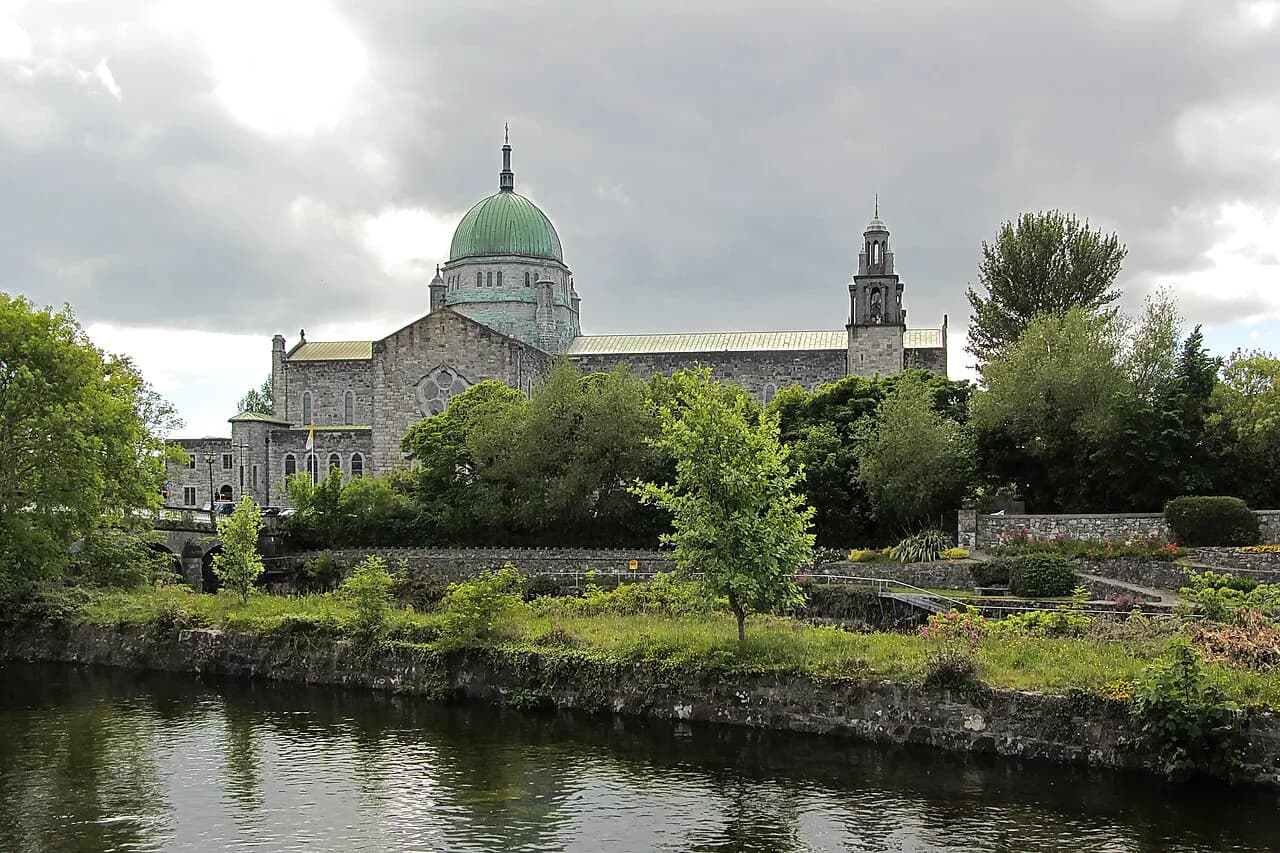
Woodquay, Galway: Streets, Heritage and Woodquay Park

Woodquay is a small residential district on the River Corrib side of Galway city centre, named for a former wooden quay and now anchored by Woodquay Park, the neighbourhood's main green space. It is a place to read rather than tick off: a compact grid of 19th-century terraces, a handful of older landmark houses and a park that was reshaped in a recent council project. This guide covers the district's character, streets and heritage, not food, lodging or nightlife rankings, which belong to a wider city guide.
Start with orientation. Woodquay sits close enough to the centre that you can fold it into a walk toward the river, yet its streets feel quiet and largely residential. Travelers who want a bounded, historically layered detour will find plenty; those looking for a concentration of visitor attractions should treat it as a short add-on rather than a destination in itself.
Where Woodquay Sits and What to Expect
The district occupies low ground close to the Corrib, and that proximity explains almost everything about it: the name, the street pattern, and the reason the land itself is relatively young. Because the area is primarily housing, the visitor experience is about the public street and the park, not interiors. Named houses are private or business premises, and terraces are people's homes, so plan to look from the pavement rather than through gates.
If you are comparing areas of the city before choosing where to base yourself, Woodquay reads as a quieter counterpoint to the busier tourist core and to riverside districts farther out. A wider look at Galway Attractions can help you decide how much time to reserve for such a walk, since Woodquay rewards half an hour of unhurried wandering more than a dedicated trip.
The Name: A Wooden Quay and a Second Docks
Woodquay takes its name from a wooden quay, described in local historical accounts as about 150 feet long, that once ran along this stretch of river. In the early 19th century much of what is now streets lay under water; the quay functioned as a kind of second docks for the city, drawing commercial river traffic down from the Corrib.
The trade that passed through was practical rather than glamorous. Accounts of the quay list turf, wood and timber alongside frieze, linen, cloth, butter, corn, grain, honey and poultry, with produce also arriving overland from places such as Menlo and the Headford Road. Keeping that cargo list in mind helps explain why a residential district so close to the centre once had a working waterfront character.
From Water to Land: Reclamation and Early Housing
The transformation from tidal ground to building land was gradual. The Corrib Drainage Scheme of 1852 began to change the face of the area, and the later construction of Steamer's Quay accompanied further infilling and reclamation. Local history describes much of the present district as having been underwater until the mid-19th-century channelling of streams coming down from the Corrib.
The first residents of the reclaimed land were mostly small farmers and fishermen, living in basic single-storey houses that were largely thatched and built of crude stone. That detail is worth holding onto as you walk: the ordered terraces you see today are a later layer, not the original settlement pattern.
The 19th-Century Streetscape
Toward the end of the 19th century into the early 20th, change accelerated with rows of new slated houses built around the broad open space at Woodquay, mostly by the Urban District Council. This is the fabric that gives the district its present look: modest, regular, and oriented toward a central expanse rather than a single grand set piece.
The sheer number of street names is a useful reading of how the district grew in small increments. Corrib Terrace, Waterside, Riverside, St Bridget's Place, St Brendan's Avenue, Court Avenue, Court Lane, St Vincent's Avenue, St Anthony's Place, O'Donogue's Terrace and Walsh's Terrace all sit within a small area, and each name marks a separate phase or parcel of development.
Rather than trying to find every name, pick two or three and let them structure your walk. Moving from Waterside toward Riverside and Corrib Terrace, for example, gives you a sense of the district's compact scale and its mix of narrow lanes and broader frontages. The historical street-name material comes from William Henry's local history as reported in the Galway Advertiser, so treat it as local heritage writing rather than a formal conservation record.
Landmarks to Look For From the Street
Three named buildings give the district historical anchors. Corrib Lodge is described as one of the oldest buildings in the area, dating from 1730 and once owned by the Governors of Erasmus Smith Schools. Corrib House is a late Georgian townhouse of about 1830 on the corner of Waterside and Courthouse Square, originally a small private hotel. Woodquay House, a larger house on St Vincent's Avenue, was later redeveloped and reopened as the Salmon Weir Hostel.
These are heritage notes, not current visitor offers. The reported later uses, including that Corrib House was described as a tea house, are as the heritage feature records them and should not be relied on as current bookable services; check directly before planning around any of them. All three are best appreciated as streetscape, viewed from public ground. If you would rather spend your indoor hours somewhere with actual collections, the museums in Galway are the alternative worth comparing.
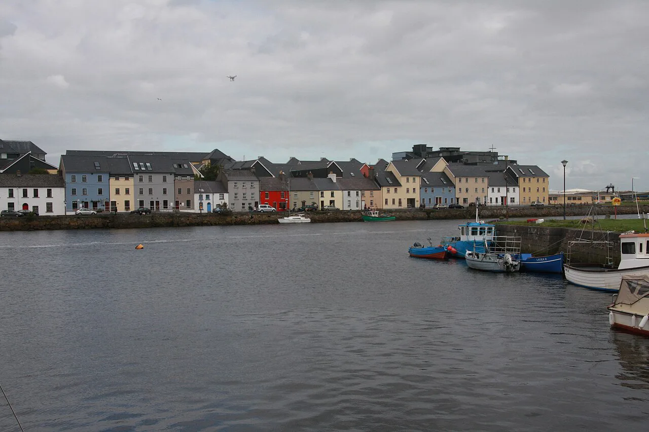

Markets, Tolls and the Working Quay
Woodquay was also a place of exchange. Tolls were collected at entrances to the city known as gaps, and Woodquay was one of them, alongside Forster Street, Merchant's Quay, Bohermore Gap and others. Local historical accounts describe the potato market as the most common of the markets and fairs held in the area, with cartloads drawn up in rows and goods weighed on scales.
The surviving toll figures are a historical illustration of that activity rather than a guide to anything current: collections at Woodquay were recorded as 36 pounds, 17 shillings and 9 pence for October 1903 and 48 pounds, 3 shillings and 10 pence for April 1904. The 1911 Census also records the surnames of those then living in the newly built Corrib Terrace, a neat way of seeing those terraces as brand-new housing at that moment.

Woodquay Park Today
Woodquay Park is the main green space serving the surrounding neighbourhood, and its recent redesign began with a vision initiated by local residents. Two rounds of public consultation involving residents, schools, businesses and accessibility groups informed the design, which extended the park into former parking areas and replaced them with planting, natural play, space for outdoor events and seating. MKO guided the project through planning and design as appointed consultant to Galway City Council, which remains the local authority responsible for the park.
The design also addresses movement and ecology. Step-free paths, safer crossings and improved connections to surrounding streets were intended to make the park usable for people of all ages and abilities, while rain gardens and pollinator-friendly planting manage rainfall and support biodiversity. The scheme also had to account for the adjacent River Corrib and its overlapping ecological protections. Treat step-free routes as a design intention rather than a guarantee that every approach is level.
On access, the council lists Woodquay Park as a local neighbourhood park with no restricted opening hours, and its listed facilities are a pedestrian walkway for passive recreation and a seating area. That is a deliberately narrow promise: the outdoor events space is a design element, not a published programme, so do not arrive expecting scheduled activity.
The 2025–2026 Redesign Timeline
The project's recent history is short and specific. An Coimisiún Pleanála granted Section 177AE approval in March 2025, construction began in October 2025, and the work was substantially completed by September 2026. Knowing that sequence helps you read the park as a newly finished piece of public space rather than an old layout.
Because the redesign is recent, small operational matters such as planting establishment or the condition of individual paths are better checked locally than assumed. The council's parks department is the right contact for anything that affects a visit, and its listing is the authoritative source for current facility descriptions.
Reading the District on Foot
A sensible loop starts at Woodquay Park, uses the surrounding street names to orient you, and then traces the Corrib edge where the old quay once ran. Keep the historical sequence in mind as you go: water, then quay, then reclamation, then terraces. That order turns a scatter of street signs into a legible story.
There is a naming footnote worth knowing. The park between Corrib Terrace and Riverside was long unnamed, and a local suggestion reported in the heritage feature proposed calling it Taheny Park after the historian Donal Taheny, who lived facing it. The park has not been officially renamed on that basis in the published record, so use the council's name, Woodquay Park.
If you want to extend the walk, the river and canal sides of the city connect naturally, and neighbourhood guides for the Latin Quarter and for Salthill can help you decide whether to head toward the medieval core or out along the coast next. Both are distinct districts with their own character, not extensions of Woodquay.
What Woodquay Is and Is Not
Woodquay is not a museum district, and it should not be confused with the Wood Quay Viking site in Dublin; there is no Viking archaeology or visitor centre to see here. If you are specifically after indoor collections, the museums in Galway are in the city centre rather than in this riverside neighbourhood. Its appeal lies in a compact historic streetscape, a handful of named old buildings seen from outside, and a newly redesigned park that functions as everyday neighbourhood space.
The main trade-off is between richness and accessibility. You get layered history in a very small area, but almost all of it is exterior viewing, and the district's residential character means quiet, respectful wandering rather than guided interpretation. If you need indoor time, compare this walk with the museums in Galway in the city centre and decide how to split the day. Bring an interest in street patterns and local history; leave expectations of attractions, cafés and signage at home.
Plan Your Visit
Treat Woodquay as a half-hour heritage walk folded into a wider day in Galway. Begin at Woodquay Park, note the terraces and street names around it, and look for Corrib Lodge, Corrib House and Woodquay House from the public street, remembering that these are private or business premises rather than open sites.
Two things are worth confirming before you go: any current facility detail for the park through the council's parks department, and the present status of any named building you hope to visit, since heritage features describe past uses rather than today's services. Beyond that, the streets themselves are the attraction, and they are free to read.
Explore more Galway guides
Frequently Asked Questions
What is Woodquay in Galway known for?
It is known as a reclaimed Corrib-side residential district named for a former wooden quay. Its main green space is Woodquay Park, and its streets contain 19th-century terraces plus a few older named houses such as Corrib Lodge and Corrib House, viewed from the public street.
Can you visit Woodquay Park at any time?
Galway City Council lists Woodquay Park as a local neighbourhood park with no restricted opening hours. The listed facilities are a pedestrian walkway for passive recreation and a seating area. Any change in conditions should be confirmed with the council's parks department.
What does the name Woodquay come from?
Local historical accounts describe a wooden quay roughly 150 feet long that ran along this stretch of the river. It operated as a kind of second docks for the city, and the district took its name from it.
Where did the old toll booth at Woodquay stand?
Woodquay was one of the toll entrances, or gaps, into the city, alongside places such as Forster Street and Merchant's Quay. Historical accounts note uncertainty about whether a particular hut shown in old photographs was the toll booth or a crane-related hut, so the exact structure is not settled.
Is Woodquay in Galway the same as the Wood Quay Viking site in Dublin?
No. Woodquay here is a residential district in Galway city. The Dublin Wood Quay site is a separate place associated with Viking archaeology, and none of that material applies to the Galway neighbourhood.
Is Woodquay Park accessible for wheelchair users?
The redesign included step-free paths and safer crossings intended to make the park usable for people of all ages and abilities. These are design features reported by the project consultant, not a guarantee that every approach route is level, so check local conditions if step-free access is essential.
How long does it take to walk around Woodquay?
The district is compact, so about half an hour covers the park and the surrounding streets at an unhurried pace. Add time if you plan to continue along the river or connect to other parts of central Galway.
Are the named houses in Woodquay open to visitors?
The article treats Corrib Lodge, Corrib House and Woodquay House as heritage streetscape rather than confirmed visitor attractions, and advises viewing them from the public street. Reported later uses such as a hostel conversion or a tea house describe past or heritage-feature uses and should not be treated as current visitor offers; confirm directly before relying on any of them.