
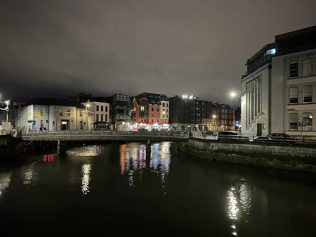
South Parish Cork: A Heritage Walk Through the Historic District
South Parish Cork is the historic district on the south bank of the River Lee, and it rewards slow walking rather than a checklist of interiors. Cork City Council includes a South Parish Walk in its Cork Walks series, describing the area as one of the most historic parts of the city, with iconic sights and less obvious corners along the way. That official framing is the best spine for a self-guided visit, because it ties the streetscape to the district's archaeology and arts rather than to any single building.
What follows links that council framing to named places whose history is recorded in a detailed account of a 2012 architectural tour of the district. Dates and architects below come from that tour report, not from independent verification, and none of the buildings should be assumed open to casual visitors. The pleasure here is reading layers of the city from the pavement.
Where South Parish Sits and Who It Suits
The district lies south of the River Lee, within easy walking distance of the compact city centre that the council describes as simple to cover on foot. Cork City Council's Cork Walks page lists the South Parish route among its self-guided city-centre walks and separately describes a series of four heritage-related trails linking places and buildings of heritage interest. That makes the area a natural choice for travellers who prefer streets, facades and monuments to a single ticketed attraction.
It suits independent walkers who are content to look at exteriors, read plaques and notice changes in brick, stone and window patterns. It does not suit anyone counting on guided tours, fixed opening hours or interiors at the chapel, convent or civic buildings, since no such arrangements are documented here. A useful pre-trip step is to open the council's walk page, then confirm any specific interior you care about directly with the body that runs it.
Starting at the River and Anglesea Road
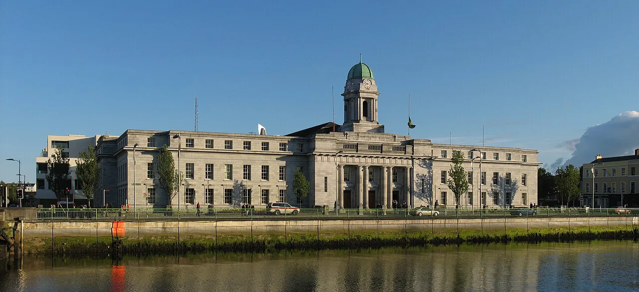
A logical start is the river edge near Anglesea Road, where the 2012 tour group met on the City Hall side. That report records City Hall as built in 1936 to the design of the Dublin firm Jones and Kelly, and notes the former Model School just across the road. Treat both as civic landmarks to view from outside while you orient yourself.
The Model School has the more curious story: the tour report attributes its design to James Owen and its first opening to 1865, with separate boys, girls and infants divisions and a maritime school attached. It also records that the campanile was used to watch shipping in the harbour, a reminder that this inland-feeling district once looked outward to the port. The building was later restored and now serves as Cork District Court House, so it is a working court rather than a museum.

Dunbar Street and the South Chapel
Dunbar Street holds St FinBar's South Chapel, known locally as the South Chapel, which the 2012 tour report dates to 1766 and describes as an early pre-Emancipation chapel. That early date places it among the city's older Catholic chapels, and for a walker the point is to appreciate how plain early chapel architecture differs from later, more ornate churches. No published visiting information accompanies this history, so treat the interior as something to confirm rather than assume.
According to the 2012 record, the chapel's best-known feature is a carving of the Dead Christ by sculptor John Hogan, who lived for a time on nearby Cove Street. The tour report documents the group viewing it during a 2012 visit, but present-day interior arrangements are not published in these sources, so ask locally or check with the parish before making the carving the purpose of your trip. Walking past the Cove Street connection still gives the district a human thread between artist and place.
Douglas Street and Nano Nagle
Douglas Street carries one of the district's strongest stories. The tour report identifies the South Presentation Convent there as founded in 1776 and associates the site with Nano Nagle, who began schools on Douglas Street for the education of poor children. That account also says she is buried in the nuns' graveyard, but burial location does not mean the grounds are open to visitors.
For the walker, the value is in understanding why a convent and school complex sits among ordinary terraces: this was a district of institutions serving a dense local population. Read the street as a sequence of charitable, educational and religious buildings rather than as isolated monuments. If you want to know whether any part of the convent is accessible, contact the community directly; nothing in the sources promises entry.

Nineteenth- and Twentieth-Century Layers
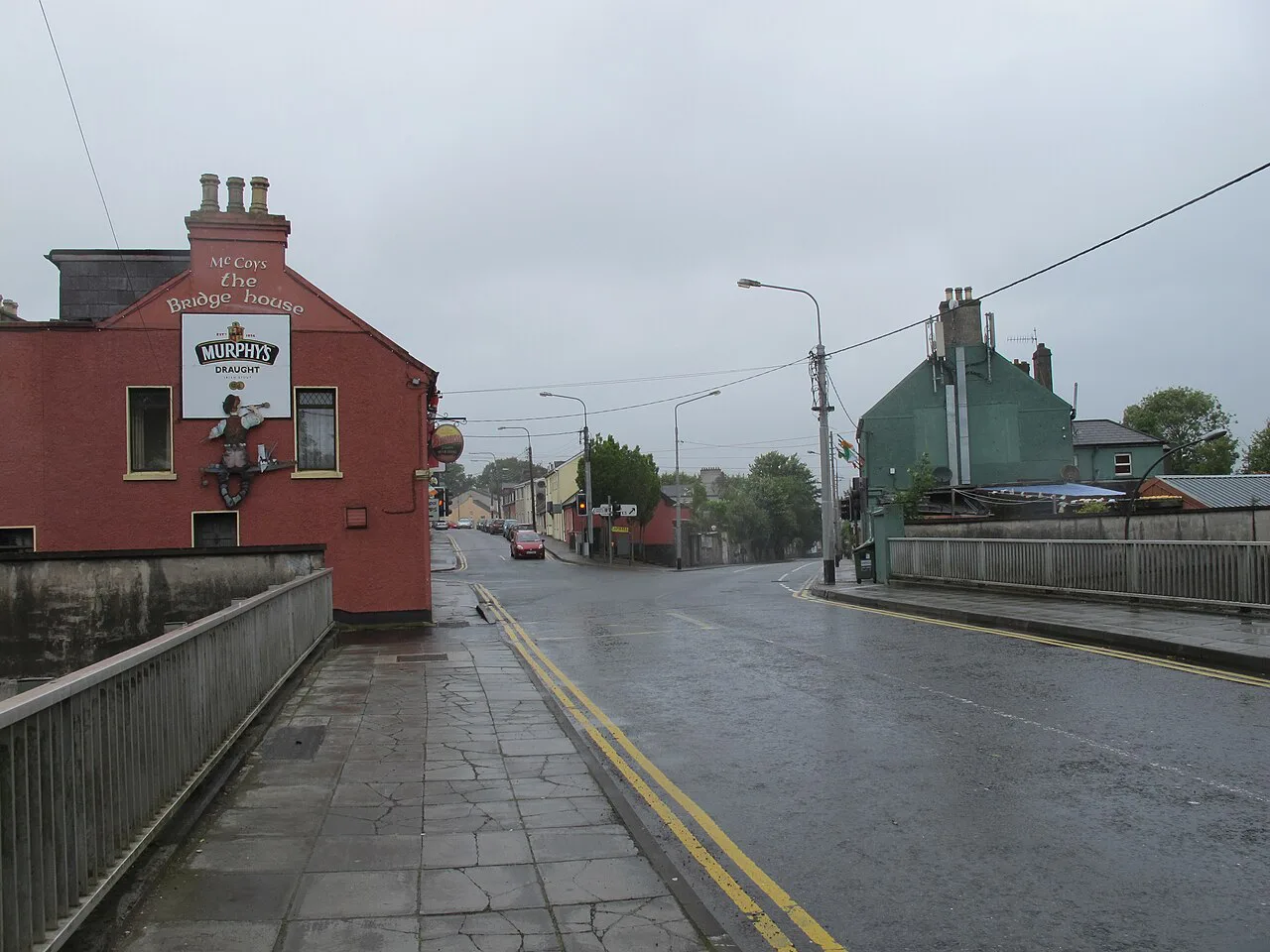
The district's interest comes from how many eras sit close together. The 2012 tour noted Saint Joachim and Anne's Home, built in 1860 to a design by the Cork architect Henry Hill, and Newenham Terrace, constructed around the same time, where the group saw a restored house interior. It also records a Quaker Meeting House of 1938 by William Henry Hill, replacing an earlier meeting house on Grattan Street.
Those dates matter because they show a district still being rebuilt well into the twentieth century, not a fossilised Georgian quarter. Compare the 1766 chapel with the 1938 meeting house and you get a short course in how Cork's religious and civic architecture changed. None of these buildings should be entered on the strength of a heritage walk listing alone.
What the Name South Parish Means
Visitors often wonder whether South Parish is an administrative area or a nickname. A parish-structure reference lists South Parish as an alternative name linked to the civil parish of St Finbar's, which helps explain why the label appears on maps and in walk titles as well as in church contexts. Like many Irish district names, it reflects church boundaries layered over older civil divisions.
That background is useful context, not a route guide, and it should not be stretched into a full history of the district. Use it to make sense of why a chapel, a convent and a cluster of streets share a name. For orientation across the wider city, the Cork Neighborhoods guide sets this district alongside other areas worth walking.
Practical Trade-Offs Before You Walk
The honest trade-off is that the sources support walking the streets and viewing exteriors far more strongly than they support interior visits. None of them publish current opening hours or admission details for the chapel, convent, City Hall, court house or meeting house, so plan around what you can see from outside and treat any interior as a bonus. Check current walk information with Cork City Council before setting out, since signage and conditions can change.
Allow unhurried time for close looking rather than rushing between stops; the reward is in details like the Model School campanile or the difference between the chapel and convent stonework. Walkers heading north of the river can compare the experience with Shandon, a different riverside heritage quarter in the same city. Those who enjoy tracing a district's architecture on foot may also like the Georgian Quarter Limerick: Walking Newtown Pery, which applies the same street-by-street approach to another city's historic core.
Plan Your Visit
South Parish Cork works best as a self-guided walk built on the council's official trail framing and enriched by the specific buildings recorded in the 2012 tour report. Start near the river at Anglesea Road, move through Dunbar Street and Douglas Street, and finish by reading the nineteenth- and twentieth-century layers around Newenham Terrace.
Confirm walk details with Cork City Council and interior access with each building's operator before you travel. Travellers who want a contrasting suburban or riverside walk can look at Blackrock, Cork for a change of pace within the same city.
Explore more Cork guides
Frequently Asked Questions
Where is South Parish in Cork?
It is the historic district on the south bank of the River Lee, close to the compact city centre. Cork City Council includes a South Parish Walk in its Cork Walks series, which is the simplest way to orient a first visit on foot.
Is St FinBar's South Chapel open to visitors?
The sources record the chapel's history but give no visiting information, so no opening arrangement can be confirmed here. Contact the parish directly before planning a trip around seeing the interior or John Hogan's Dead Christ carving.
What connects Nano Nagle to Douglas Street?
A 2012 architectural tour report links the South Presentation Convent on Douglas Street, founded in 1776, with Nano Nagle's schools for poor children. The same report says she is buried in the nuns' graveyard, but that does not mean the grounds are open.
Why is the area called South Parish?
A parish-structure reference gives South Parish as an alternative name linked to the civil parish of St Finbar's in Cork. That helps explain why the label appears on maps and in walk titles as well as in church contexts.
Can I go inside the buildings on the walk?
Presence on a heritage trail does not guarantee public access. City Hall, the court house, the convent and the meeting house are working or community buildings, so confirm with each operator rather than assuming entry.