
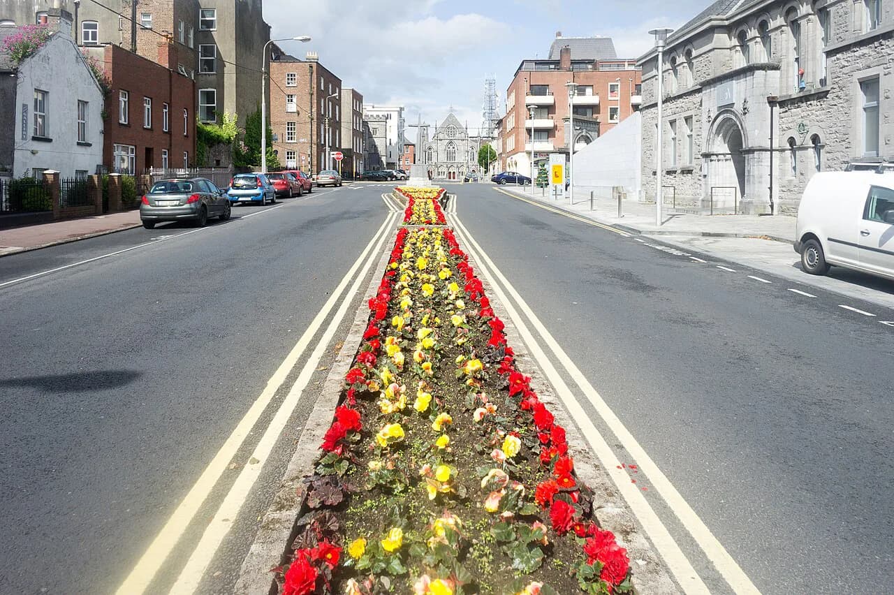
Limerick Neighborhoods: 4 Area Guides
Explore Limerick’s neighborhoods through their distinct streets and histories. These guides connect each area’s character with the heritage places that help explain it.
Limerick neighborhood guides
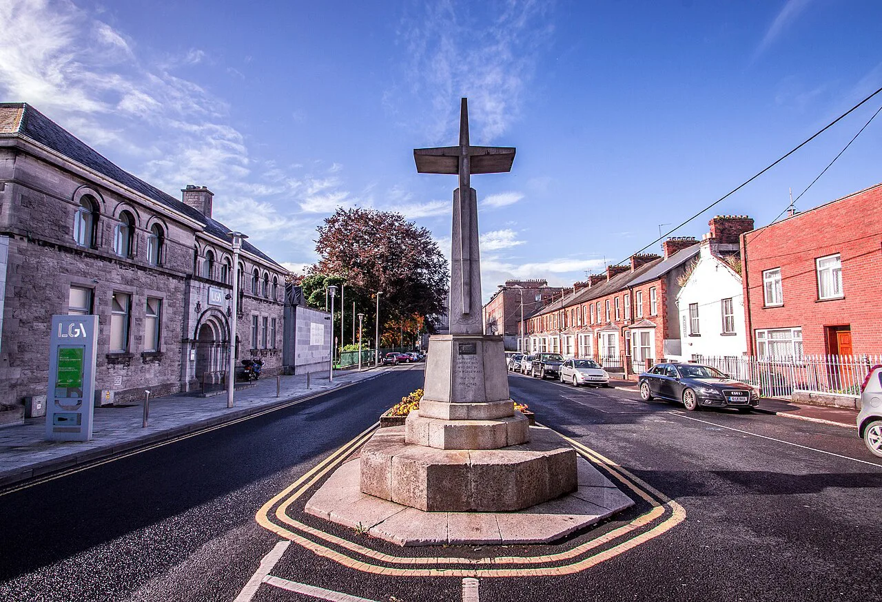
Georgian Quarter Limerick: Walking Newtown Pery
Limerick's Georgian Quarter and Newtown Pery are the same district: a late-18th and early-19th-century grid of terraces and squares that still shapes the city centre. This guide explains how the grid came about, which streetscape details to look for, and what to see around Pery Square and People's Park.
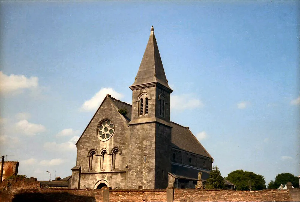
Irishtown, Limerick: Historic Streets and John's Square Guide
Irishtown is Limerick's late-medieval mainland suburb, grown south from Baal's Bridge along Broad Street and John's Street and crowned by the Georgian set-piece of John's Square. This guide reads its streets, townhouses and cathedral as a compact district to explore on foot.
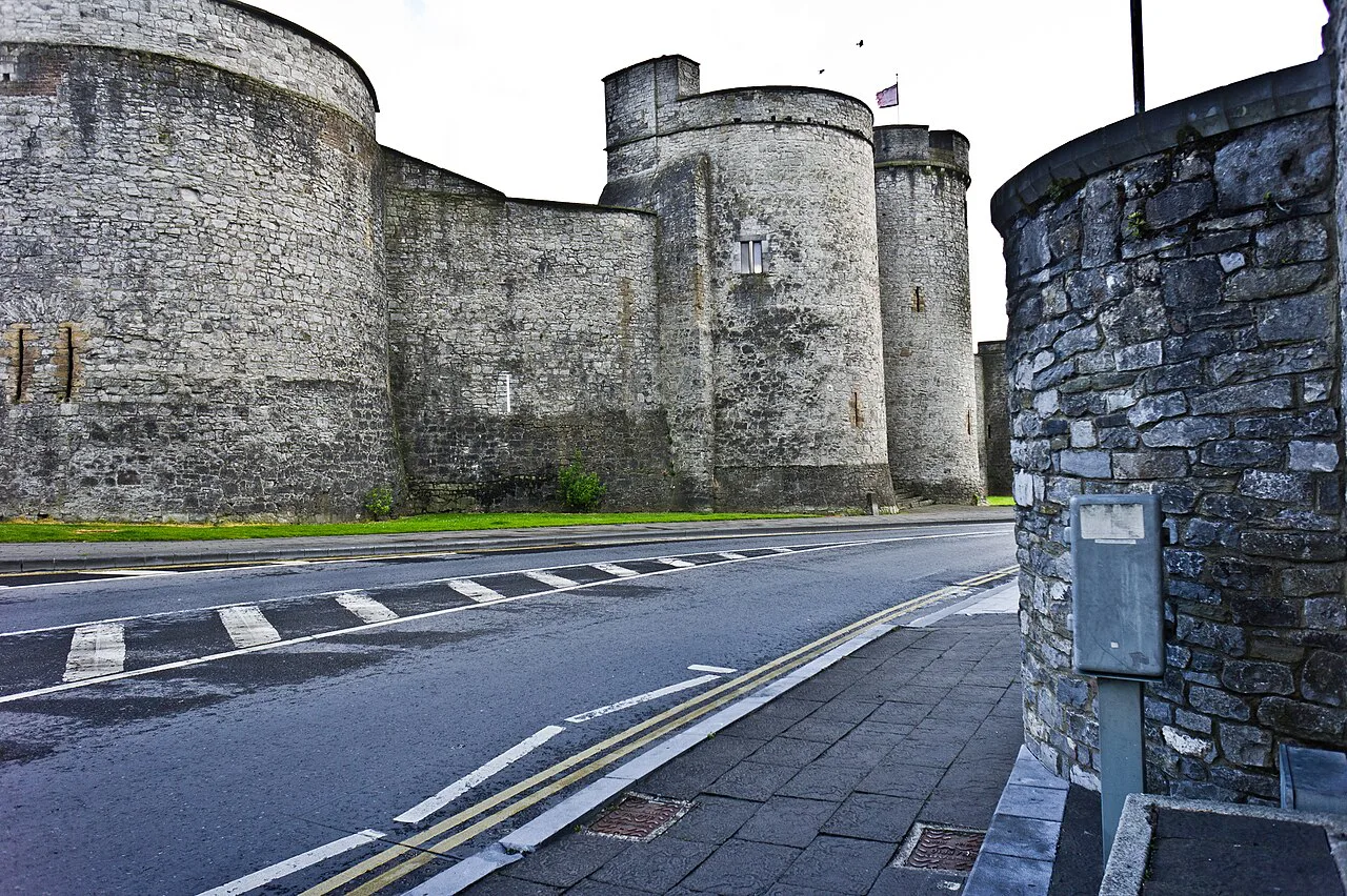
Limerick's Medieval Quarter: A King's Island Walking Guide
Limerick's Medieval Quarter is the old Englishtown core on King's Island, where the castle, St Mary's Cathedral and Nicholas Street sit inside the line of the medieval walls. This guide explains how to walk it, what each landmark adds to the story, and where the quarter ends.
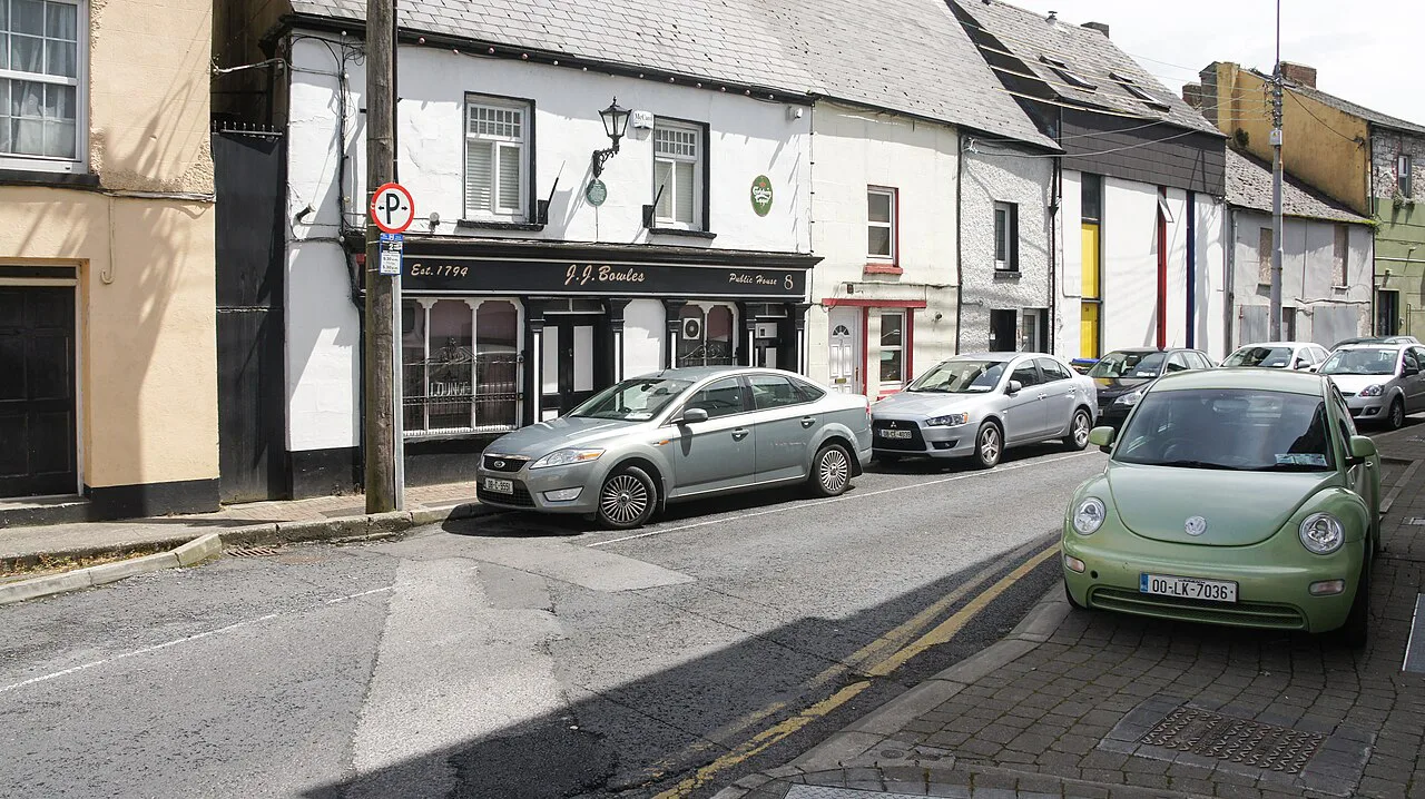
Thomondgate, Limerick: A Historic District Walk
Thomondgate is Limerick's north-bank district west of Thomond Bridge, a residential area with a conservation-area streetscape, a placename tied to a vanished medieval gate, and the Treaty Stone tradition at its bridge end. This walk guide keeps the city's King's Island landmarks firmly across the water and points out which histories are documented and which rest on local tradition.