Rock of Dunamase: A Visitor Guide to the Laois Castle Ruins
Use this Rock of Dunamase guide to read the ruined castle above County Laois, from the Viking raid to the Norman halls, plus the climb and its hazards.
On this page
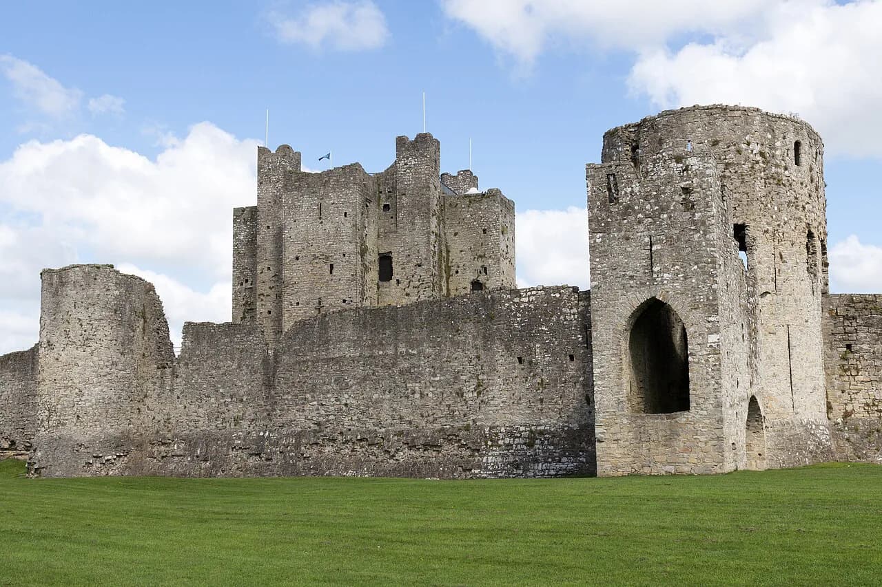
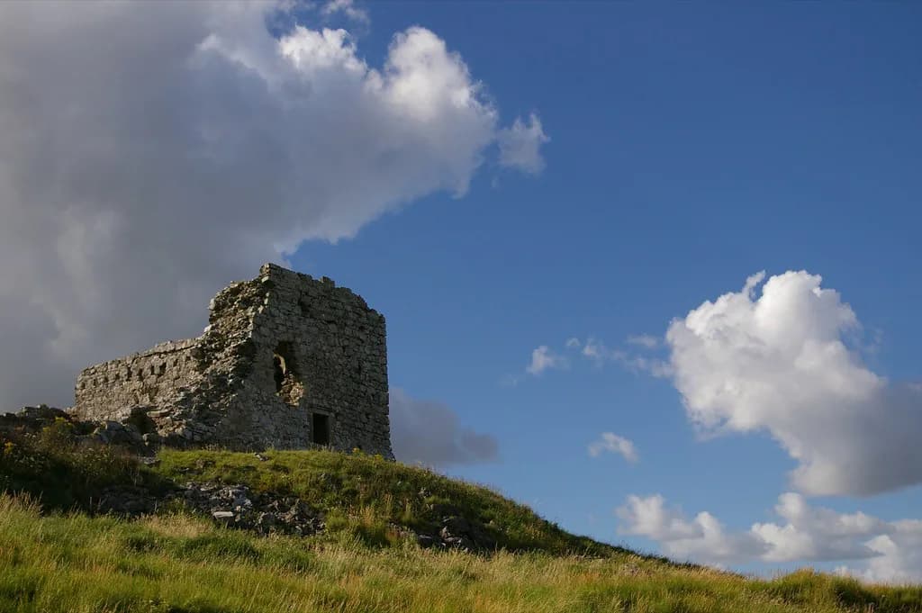
The Rock of Dunamase is a ruined castle crowning a prominent limestone outcrop in County Laois, not an intact fortress or a staffed visitor attraction. What you climb to is a set of stone remains on high ground, and what you remember is often the wide view back over the surrounding countryside. This guide separates the standing fabric from the stories attached to it so you can read both on the ground.
What You Are Actually Visiting at Dunamase
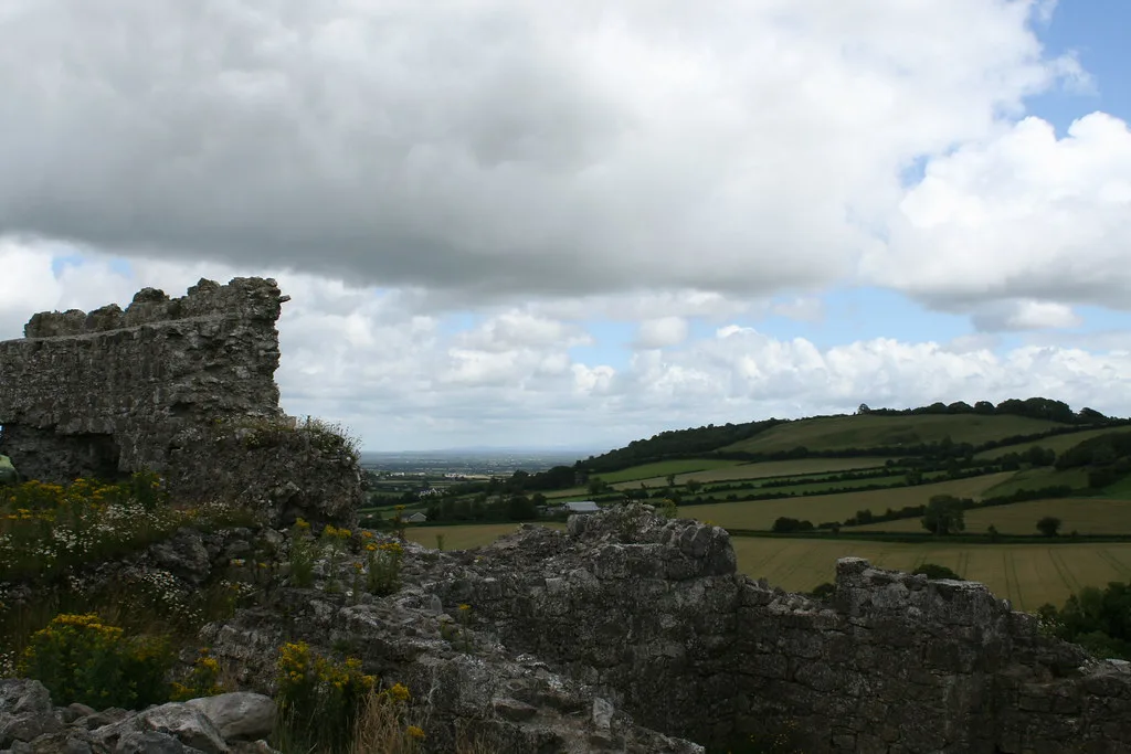
Expect an outdoor archaeological site rather than a roofed monument. The Discover Ireland entry treats the castle as ruined yet still legible, saying visitors can sense its former scale while taking in views across the Laois countryside, especially around sunrise or sunset.
The outcrop itself is part of the experience: an independent activity guide describes a rock standing over 45 metres high, with the ruins dominating the land around it. That height is why the site carried strategic value across successive occupations, so the walk up is not incidental but the first piece of interpretation.
Where It Stands and How the Climb Works
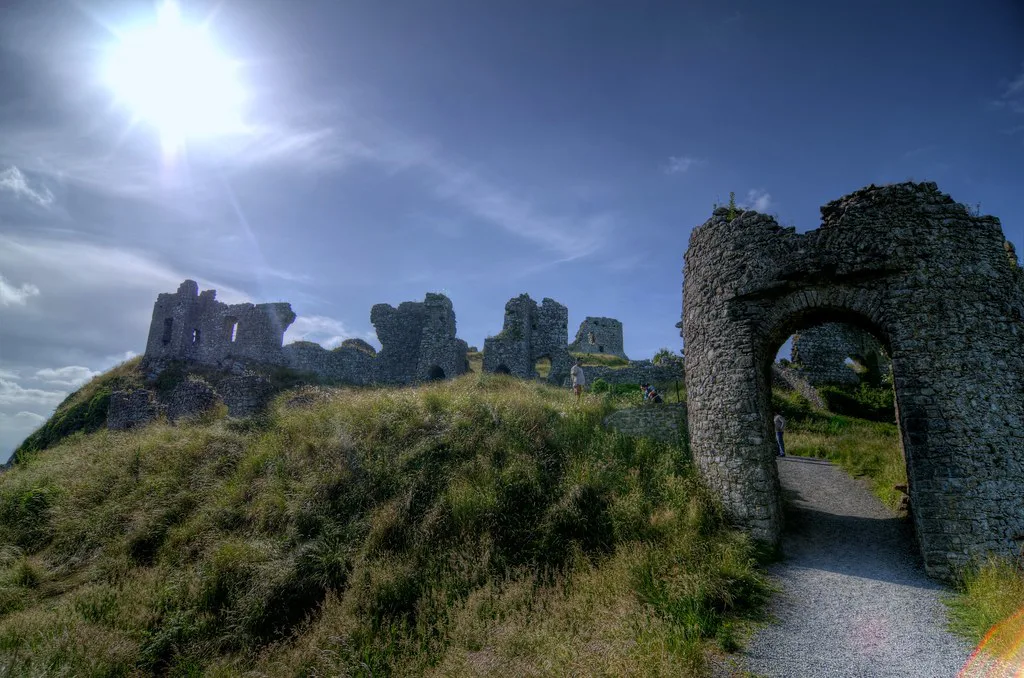
Dunamase lies east of Portlaoise on the N80, and the castle is easy to pick out from the road because of its position on the rock. That visibility makes the site simple to locate, but it also means the ruins are seen from below long before you reach them, which helps you judge the scale of the outcrop.
A path leads from the roadside area up to the ruins, and an older walking account describes the climb as not too steep while noting parking near the site. Treat that parking note as an observation from a past visit rather than a confirmed facility, and check locally if you need certainty before setting out.
The main non-historical reward is the outlook: the height that made Dunamase defensible also opens long views over Laois, which is why photography from the top is the site's most reliable draw. There are no sourced indoor spaces, opening hours or ticketing arrangements, so plan around daylight and weather rather than a published schedule.
Why the Position Mattered
Dunamase mattered because of geology before it mattered because of architecture. The limestone outcrop gave defenders natural elevation and a commanding outlook, and the surviving castle works sit on that prepared ground rather than on a chosen building plot.
The rock's strategic value persisted across very different occupants. Discover Ireland describes it as a place of strategic importance, an early Christian settlement raided by Vikings, and later one of the most important Anglo-Norman strongholds in Laois, which is a useful frame for reading the ruins as a sequence rather than a single build.
The Early Dún and the Viking Raid
The earliest defensible phase was an Irish dún, a drystone fortress on the rock. Discover Ireland records the settlement being pillaged by Vikings in 842, and the walking account ties the same episode to the killing of the abbot of Terryglass as recorded in annal tradition.
Excavation in the 1990s is said to have exposed portions of that earlier dún, including a drystone wall near the later twelfth-century gatehouse that the Norman builders partly reused. That detail is worth carrying with you: at Dunamase, later masonry sometimes sits directly on earlier work, so the ruins are layered rather than replaced wholesale.
Aoife, Strongbow and the Leinster Inheritance
Dunamase enters the documentary story of the Anglo-Norman invasion through marriage and inheritance. Discover Ireland notes that the site formed part of the dowry of Aoife, daughter of Diarmuid Mac Murrough, when she married Strongbow in 1170, and that it later passed with their daughter Isabel to William Marshal.
Those family links explain why a Laois rock carries the names of Leinster's great lords, but they should be read as broad historical context rather than audited genealogy. The useful takeaway for a visitor is that Dunamase's Norman phase belongs to a wider network of Marshal-held strongholds across the province, not to an isolated local builder.
For that wider context, the castles and town walls of the south-east offer useful comparisons: Reginald's Tower in Waterford is a surviving urban fortification of broadly comparable period, and it helps calibrate how much of Dunamase has been lost. If you are tracing the same Norman stronghold story further west, the castles in county galway make an instructive counterpoint, and for the prehistoric layers beneath sites like this, ancient sites ireland sets out the earlier monuments. For the broader story of Irish building and fortification, browse the Irish Architecture guide.
Reading the Standing Remains
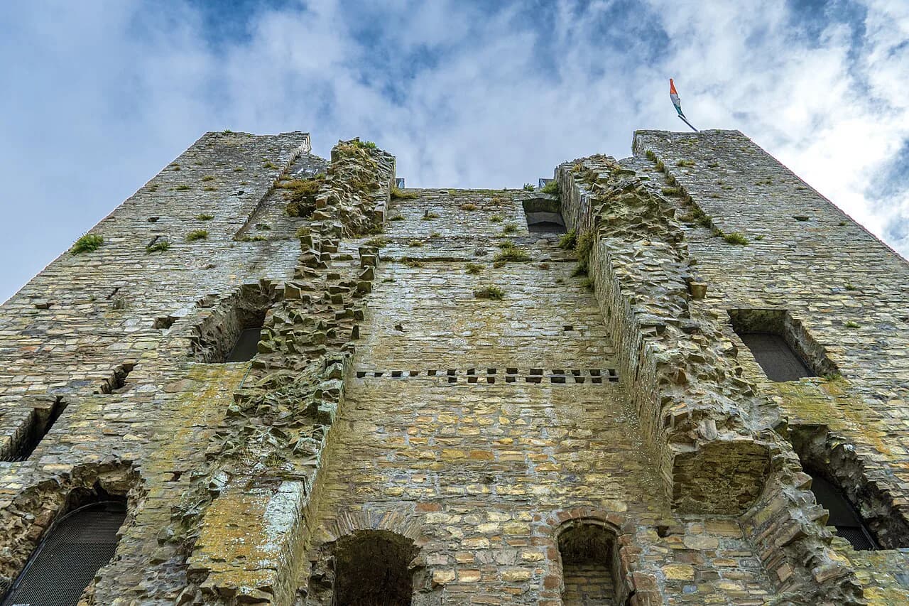
The most legible structure is the great hall and chamber on the plateau. The walking account records a hall of limestone rubble roughly 35.5 by 20 metres with walls about 2.8 metres thick, divided into a main hall, service rooms and a private chamber above, and it notes a roof arrangement described as unusual in Ireland.
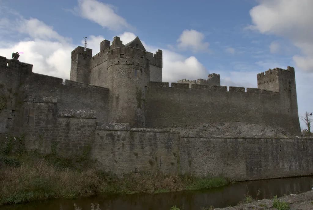
The gatehouses reward close looking because there are two phases to compare. An earlier gatehouse was blocked when a new one was built to the south, and the later structure still shows arrow loops and the slots where a portcullis would have run, while the outer defences include a barbican added in a further campaign.
Dating these campaigns precisely is not straightforward, and the sources do not agree on who paid for each one. The first Norman building phase around 1180 is associated tentatively with Meiler Fitzhenry on circumstantial grounds, while the later barbican and rebuilt outer walls are linked to the Marshal family without a secure attribution.
From Stronghold to Ruin
Ownership shifted over centuries. Discover Ireland states that the castle belonged to the O'Moore family from 1325 until 1609 before passing to the Earl of Thomond, and that it was finally destroyed during the Cromwellian invasion in 1650.
How the ruin actually happened is debated. The walking account accepts that the main hall shows signs of deliberate damage with gunpowder, but points out that neither documents nor datable archaeology firmly tie that destruction to Cromwell, and it raises an alternative possibility that the castle was slighted earlier, when Portlaoise was planted.
Later alteration is visible in the hall, where red brick work reflects an eighteenth-century attempt by Sir John Parnell to restore and reuse the space. Read it as a later intervention cut into a medieval shell, not as evidence of a surviving furnished interior.
Reading a monument like this also makes you notice what has been lost. Much of Dunamase survives only as footings, blocked openings and modified wall lines, and the sources that describe it mix firm observation with informed guesswork, which is worth keeping in mind as you compare each stretch of stone.
Visiting With Clear Eyes
The recorded hazards are physical rather than administrative. Rocks concealed by undergrowth make tripping easy, wind is stronger on the exposed top, and there are sheer drops over the edge of the outcrop, so children need close supervision and sturdy footwear is sensible.
Do not assume step-free or fully accessible paths, and do not expect shelter, toilets or refreshments on site, because the sources establish none of these. Before travelling, check current access arrangements with a local or official source rather than relying on older visitor notes.
Claims to Hold Lightly
One persistent claim places Dunamase on the second-century map of the cartographer Ptolemy under the name Dunum. The activity guide is explicit that there is no archaeological evidence for identifying Dunum with Dunamase, so treat the link as an old speculation rather than a fact.
Careless claims about the site's importance deserve the same scepticism, including the occasional description of Dunamase as an unbreachable fortress in Munster, a province it is not in. Laois lies in Leinster, and the sources support a picture of a significant but contested stronghold, not an invincible one.
Plan Your Visit
Dunamase rewards travellers who want to read a site rather than be guided through it. Go for the climb, the layered masonry and the view, and use the history as a framework for what you are looking at on the rock.
Leave time to compare the gatehouses and the hall, and approach the exposed edges with care. Check current local access information before you go, and keep the contested questions in mind, since at Dunamase the uncertainty is part of the story. For more on Irish architecture, browse the Irish Architecture guide, and for related reading, explore Dunmore Cave.
Explore more Ireland guides
Frequently Asked Questions
Is the Rock of Dunamase a castle you can go inside?
No. It is a ruined castle on an exposed limestone outcrop, with standing walls, gatehouse remains and a great hall open to the sky rather than roofed rooms. There is no sourced evidence of a visitor centre or an interior you can enter.
How do you reach the Rock of Dunamase and how hard is the climb?
The site stands east of Portlaoise on the N80 and the castle is visible from the road. A path leads up to the ruins; an older walking account calls the climb not too steep but warns of hidden rocks, exposed edges and wind on the summit. Parking has been noted there on past visits, so verify current arrangements locally.
What is left to see of the castle at Dunamase?
The main legible elements are the hall and chamber on the plateau, two gatehouse phases, a barbican and stretches of outer wall. Sections of an earlier drystone dún were reportedly found during 1990s excavation, and red brick work in the hall reflects eighteenth-century alteration.
Why was the Rock of Dunamase strategically important?
The limestone outcrop provides natural height and a commanding outlook over the Laois countryside, which made it valuable to successive occupants. It is described as an early Christian settlement raided by Vikings and later as one of the most important Anglo-Norman strongholds in Laois.
When was the Rock of Dunamase destroyed, and is that certain?
Discover Ireland places the castle's destruction during the Cromwellian invasion in 1650. Other accounts accept deliberate gunpowder damage in the hall but question the date and agent, so present 1650 as the commonly cited date rather than a settled archaeological conclusion.
Can I rely on the Rock of Dunamase having facilities or opening hours?
No reliable facilities or hours are established. Treat the site as an open ruin and plan around daylight and weather, checking current access locally before travelling. There is no sourced basis for expecting guides, toilets or refreshments on the rock.
Sources
You might also like
Continue reading
More guides you'll find useful