Dysert O'Dea Castle and Monastic Site Visitor Guide
Dysert O'Dea Castle is closed until May 2027, but the separate state-owned church, high cross and round tower remain unguided monuments you can visit.
On this page
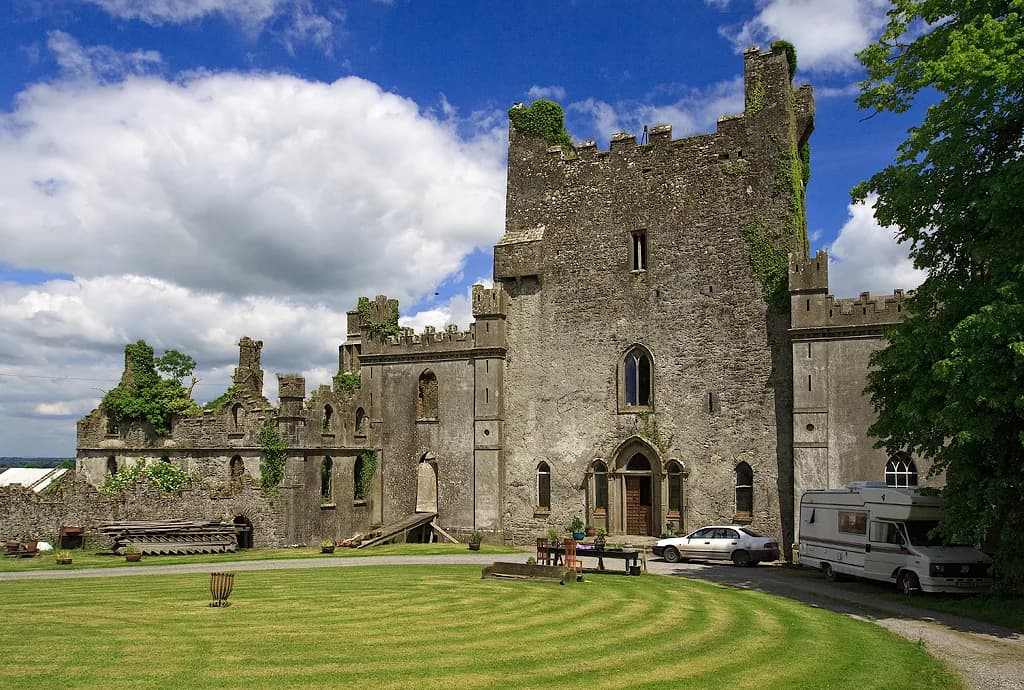
Dysert O'Dea Castle should not be planned as a museum stop right now. The tower house in County Clare, which houses the Clare Archaeology Centre, is listed by its operator as closed until May 2027. The monastic remains nearby are a different site in state ownership, and they are unguided rather than closed.
The two places are often treated as one attraction because they share a name and stand close together, but they do not share an operator. The church, high cross and round tower form a National Monument cared for by the Office of Public Works, while the castle is a restored O'Dea stronghold run as the Clare Archaeology Centre.
Current Access: Castle Closed, Monastic Site Still Open
The castle operator's own website carries a notice that the site is closed until May 2027, so any plan built around its museum, tearoom or wall walk has to wait. The closure is presented as temporary, and the operator gives no reopening detail beyond that window.
The monastic site is managed differently. The OPW public-body page for Dysert O'Dea describes it as a state-owned National Monument and presents it as an unguided site. That page carries a general warning asking visitors to maintain a level of care and caution during visits, rather than reporting any formal closure.
Treat the two notices as answering different questions. One says a building cannot currently be entered; the other says a monument has no guide and needs attention underfoot. The OPW page presents the monastic site as an unguided monument and lists no visitor centre, shop or toilets there.
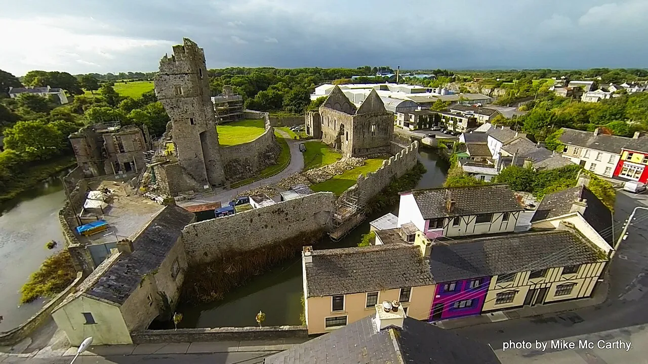
Two Sites, One Name: Why the Confusion
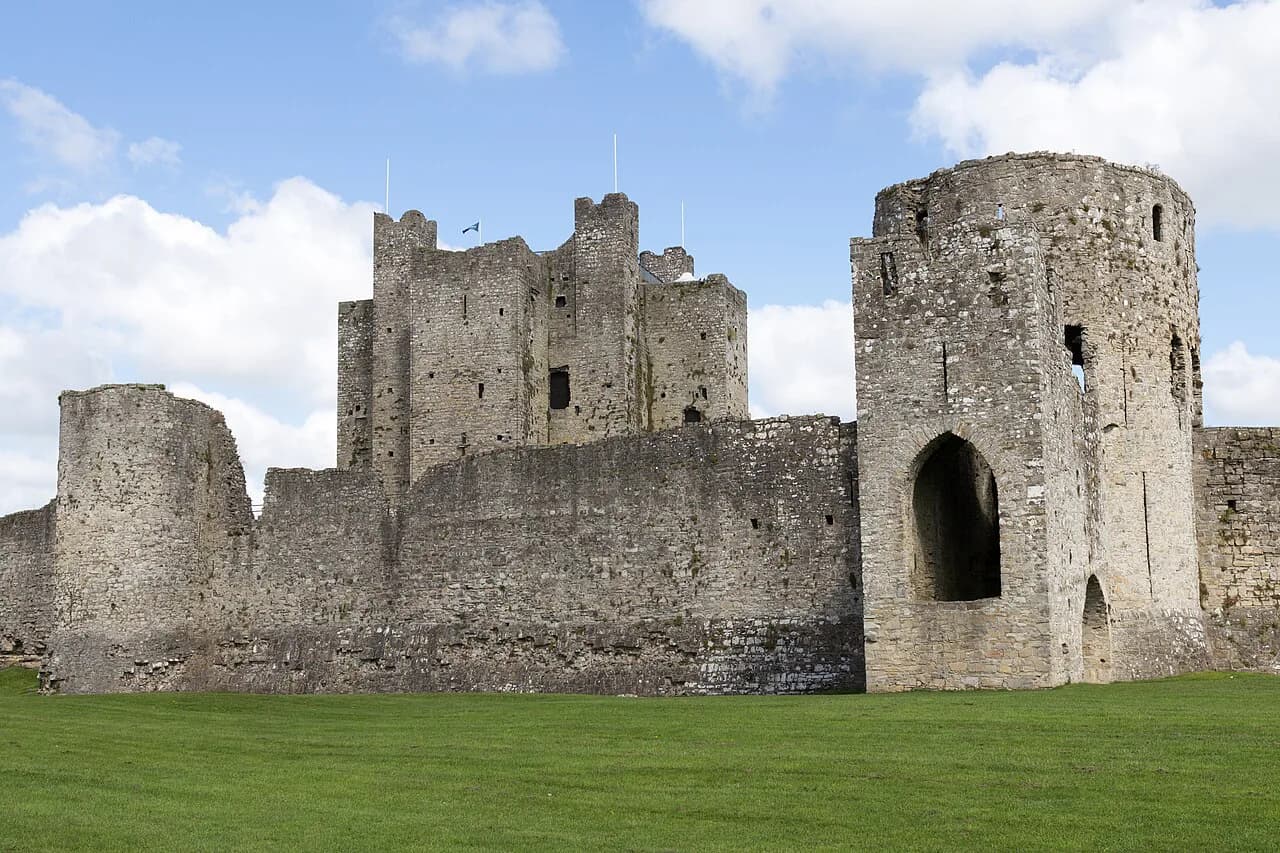
Dysert O'Dea is a place name attached to several monuments rather than a single walled complex. The tower house built by Diarmuid O'Dea in 1480 stands beside a church with its carved doorway, a high cross and the stump of a round tower. Because the castle formerly ran the museum and published the trail map, the group is often discussed together as one stop.
A family thread links the two stories. The castle was an O'Dea stronghold, and the high cross was re-erected in 1683 by Michael O'Dea on a base built from the church's corner stones. That explains why the monuments are discussed together, but it does not change who looks after them today.
Where Dysert O'Dea Sits
The operator places the castle about 5 km south of Corofin and 11 km north of Ennis, approached from the N85 onto the R476 and then by signed turns. Those figures are orientation rather than a verified live route.
The setting is farmland with scattered monuments rather than a formal park, so the visit works as a short stop between larger destinations. If you are working through a wider list of medieval castles in Ireland, treat this as a compact stop that depends on what is open at the time.
The Monastic Site: Church, Doorway and Cross
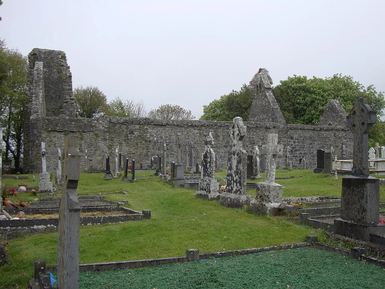
The monastery here began as an eighth-century Christian hermitage founded by St. Tola, who died between 733 and 737. The church you see is mainly twelfth-century work on that earlier site, laid out with a nave and a choir.
The famous feature is the Romanesque doorway in the south wall. Its outer arch carries nineteen carved human and animal heads, and the OPW describes it as the most famous aspect of the building.
The high cross is twelfth-century and stands twelve feet tall with its base. Its east face shows Christ on the cross with a bishop beneath, and the other faces and base carry geometric patterns, animal interlace and human figures. Sources disagree on whether the bishop represents St. Tola or St. Monalagh, so treat any single identification as one reading among several. The OPW places the cross at the entrance to the church grounds; the castle operator describes it as west of the church in one passage and east in another, so treat its exact position as unsettled.
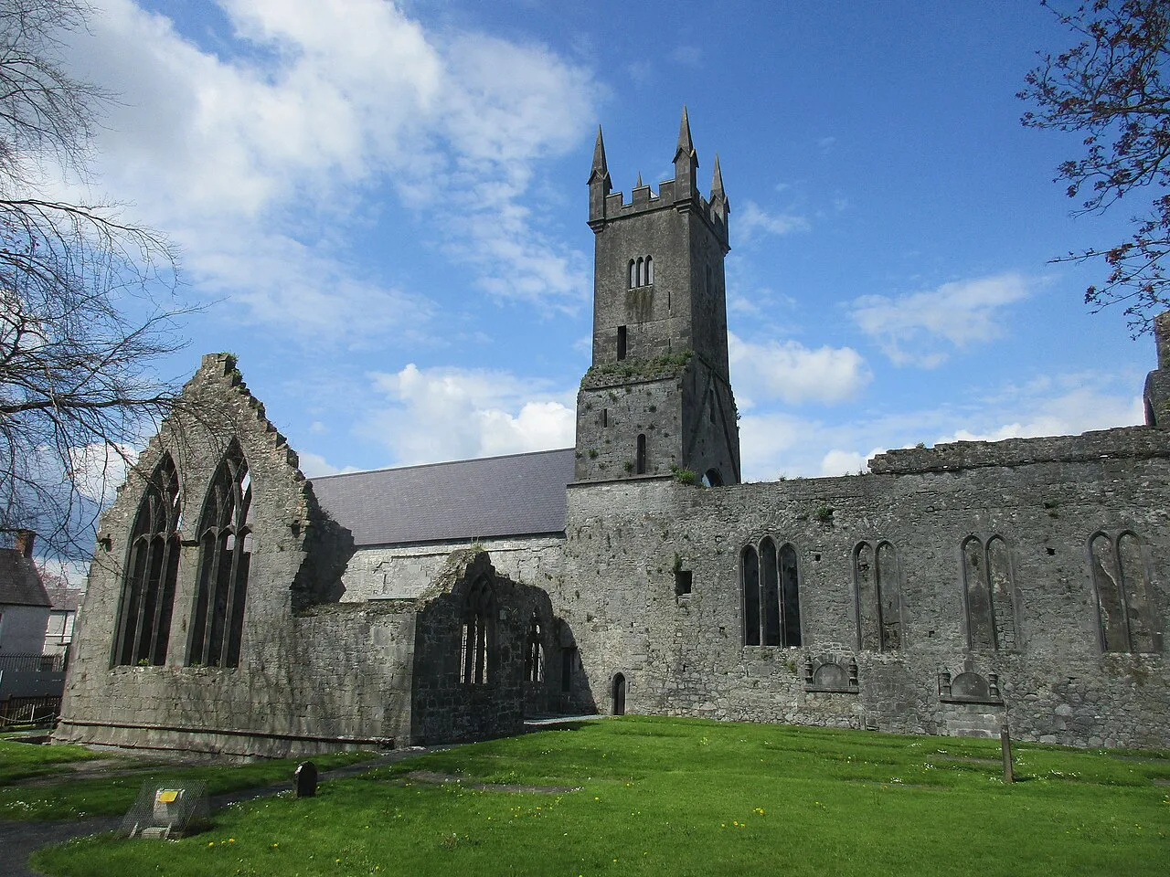
The round tower beside the church was converted into a fortification in the sixteenth century and now survives at about sixty feet, with one side reduced to roughly twelve feet. The visit is a matter of walking the churchyard and reading the stonework.
The Castle You Cannot Enter Yet
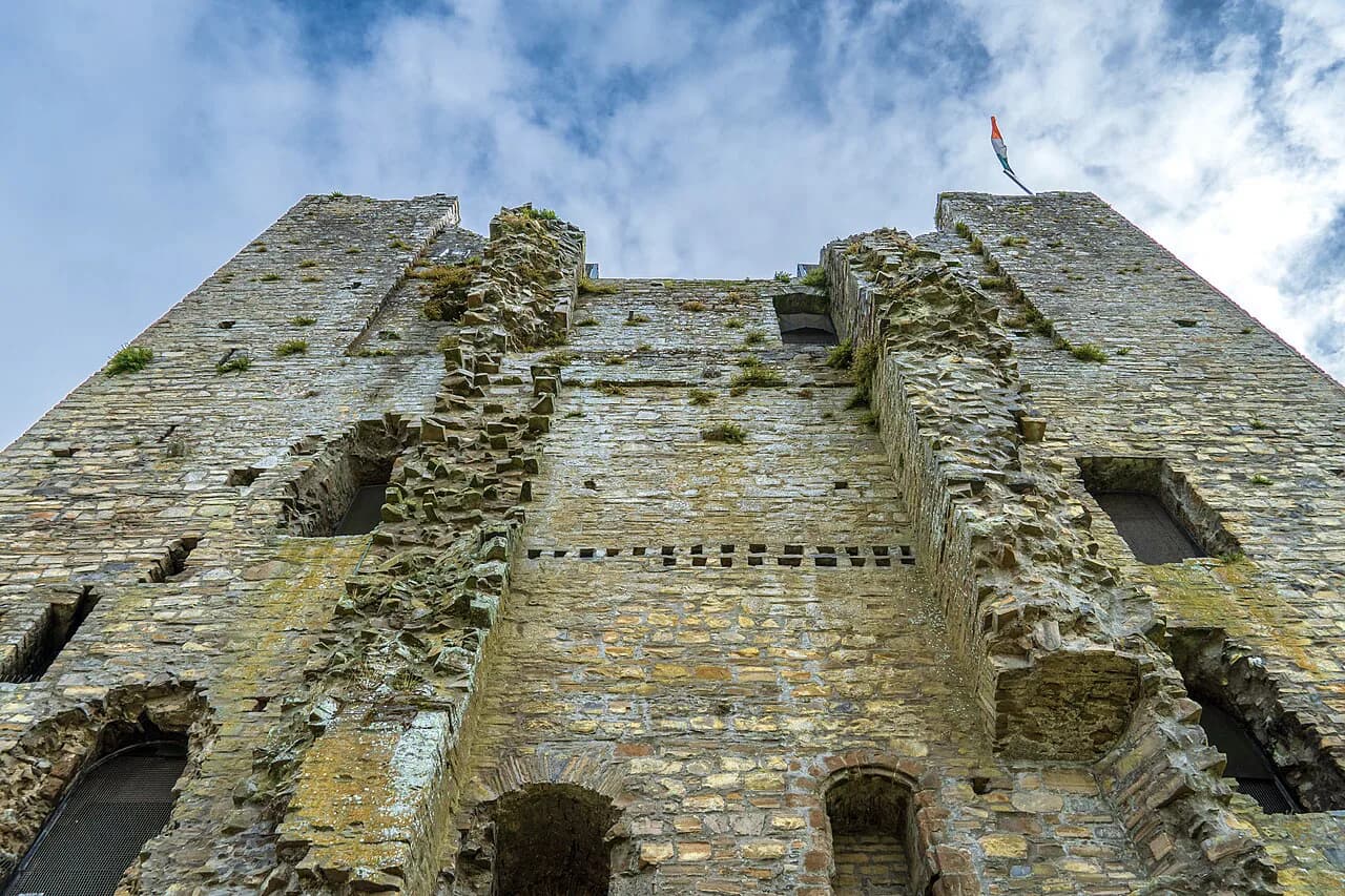
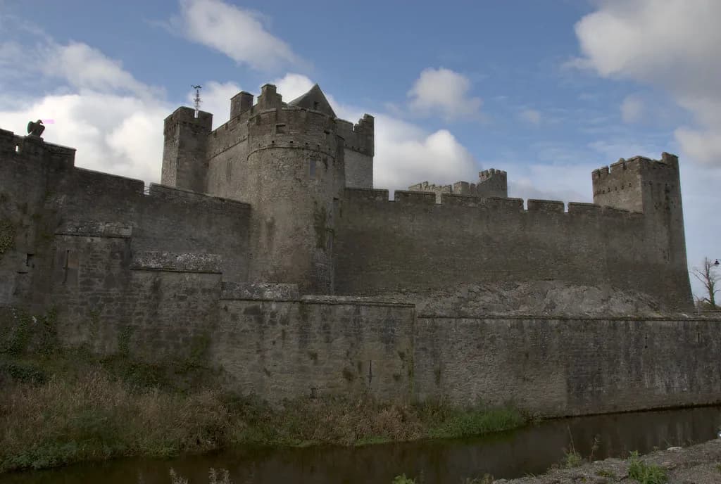
The tower house is a restored fifteenth-century Gaelic stronghold, built in 1480 by Diarmuid O'Dea, Lord of Cineal Fearmaic. Its upper floors and staircase were badly damaged by Cromwellian forces in 1651 and were repaired before the building reopened in 1986, the operator states. It is one of four such O'Dea tower houses; of the three that remain, the operator says only Rath and Magowna have visible walls.
Inside, the operator lists ten rooms across four floors, with exhibition rooms, an audiovisual presentation in English and German, a bookshop, a tearoom, toilets, parking and a wall walk at the top. These are listed as what the building holds, not as facilities available now.
For a sense of how restored towers and castles are presented elsewhere in Ireland once open, Medieval Castles in Ireland is a useful overview of comparable sites. If your western travels also take in the city, our Museums in Galway City guide covers two heritage stops of a similar compact scale. That does not make any of them a substitute for Dysert O'Dea, which remains closed until May 2027, but it helps set expectations for medieval castle visits.
The Archaeology Trail and Its Limits
Surrounding the castle is an archaeology trail of twenty-five field monuments within a few kilometres, on a route of about 4 km that the operator says can be walked or driven. The monuments range in date from around 1000 BC to 1850 AD and include two Romanesque churches, two fifteenth-century tower houses, stone and earthen forts, holy wells, ancient cooking places and later landlord buildings.
The operator describes the trail as open all year and says a guide and map are available at the castle. With the castle closed, do not count on either the map or any facilities along the route, and treat the year-round description as the operator's own statement rather than a service guarantee.
The churchyard monuments are the reliable element of a visit at present. Use the OPW page to see what stands in the churchyard, and leave the wider trail for a later trip when the castle is running again.
Is the Stop Worth It While the Castle Is Closed?
Yes, if carved stonework and early church sites interest you and you are already crossing Clare. The doorway, the high cross and the tower stump sit within a small area, so the visit is compact rather than a full afternoon. Come prepared for grass, gravel and uneven ground.
No, if you wanted the museum, the wall walk and the trail interpretation, which are the parts that depend on the castle being open. The honest trade-off is between a short unguided encounter with medieval sculpture and a fuller managed visit.
Nearby Options to Pair With a Visit
The Heritage Ireland page for the monument also lists other OPW sites with approximate distances from Dysert O'Dea, including Ennis Friary at roughly 9.1 km and Askeaton Castle, Adare Castle, Scattery Island, Athenry Castle and Desmond Castle Newcastlewest further out. Those figures are the OPW's approximate distances to each site, not a suggested driving route. For more castles in the west, see our Castle Guide to County Galway.
If your interest is broader than castles, our guide to Ancient Sites in Ireland covers the earlier monument types that also appear on the Dysert O'Dea trail, from forts to holy wells. That context makes the scattered earthworks easier to read when you do return.
Plan Around the Closure
Build your Dysert O'Dea visit around the state-owned churchyard: the twelfth-century doorway with its nineteen carved heads, the high cross with its disputed bishop, and the reduced round tower. Check the castle operator's notice before travelling if your dates sit near May 2027, and confirm current arrangements for the monastic site on the OPW page.
Leave the museum rooms and the wall walk for the reopening. If you follow the archaeology trail while the castle is shut, do not count on the guide and map being available at the castle, and treat the operator's 'open all year' description as their own statement rather than a service guarantee.
For more castles to compare, and one of Ireland's best-known, see our guides to Ross Castle, Roscommon Castle and Blarney Castle.
Explore more Ireland guides
Frequently Asked Questions
Can you visit Dysert O'Dea Castle now?
No. The operator states on its own website that the castle is closed until May 2027. There is no entry to the museum rooms or the wall walk during that period. The separate monastic site nearby is not affected by this closure.
Is the monastic site at Dysert O'Dea separate from the castle?
Yes. The church, high cross and round tower are a state-owned National Monument in the care of the Office of Public Works and are managed separately from the castle. They are unguided, so visitors should take care on uneven ground.
What can you see at the monastic site?
A mainly twelfth-century church with a nave and choir, a Romanesque doorway whose outer arch carries nineteen carved heads, a twelfth-century high cross standing twelve feet with its base, and the reduced remains of a round tower converted to a fortification in the sixteenth century.
Who is the bishop carved on the high cross?
It is not settled. Some sources identify the figure beneath Christ as St. Tola, others as St. Monalagh. The OPW describes the disagreement rather than resolving it.
What is the archaeology trail?
The castle operator describes a trail of about 4 km linking twenty-five field monuments dating from roughly 1000 BC to 1850 AD, walkable or driveable, and describes it as open all year with a guide and map available at the castle. With the castle closed, do not rely on the map or facilities being available.
Sources
You might also like
Continue reading
More guides you'll find useful